Sol 4225: Sliding Down Horsetail Falls
Earth planning date: Monday, June 24, 2024 This will be an important week for chemistry on our latest drill sample “Mammoth Lakes 2.” Curiosity’s primary goal today was a preconditioning of the SAM instrument in preparation for its chemical analysis. Due to the large amounts of power required by SAM, today’s science block was limited […]
2 min read
Sol 4225: Sliding Down Horsetail Falls
Earth planning date: Monday, June 24, 2024
This will be an important week for chemistry on our latest drill sample “Mammoth Lakes 2.” Curiosity’s primary goal today was a preconditioning of the SAM instrument in preparation for its chemical analysis. Due to the large amounts of power required by SAM, today’s science block was limited to one hour, although it grew a bit at the cost of next sol’s science allocation. Today’s planning only covers one sol (4225), as our usual Wednesday planning day will not have Deep Space Network availability. We will plan 3 sols on Tuesday as a result.
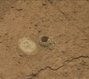
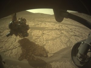
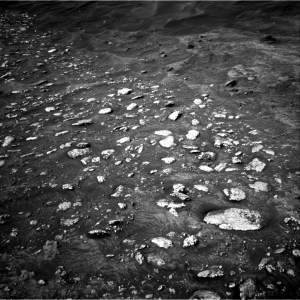
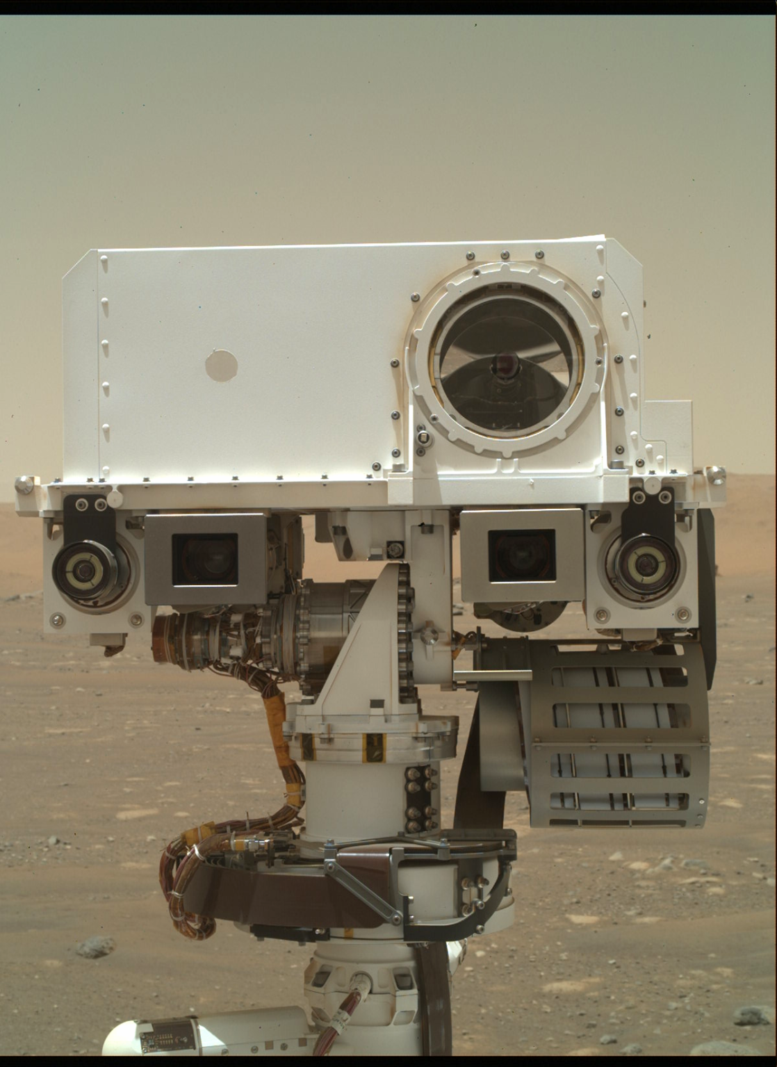
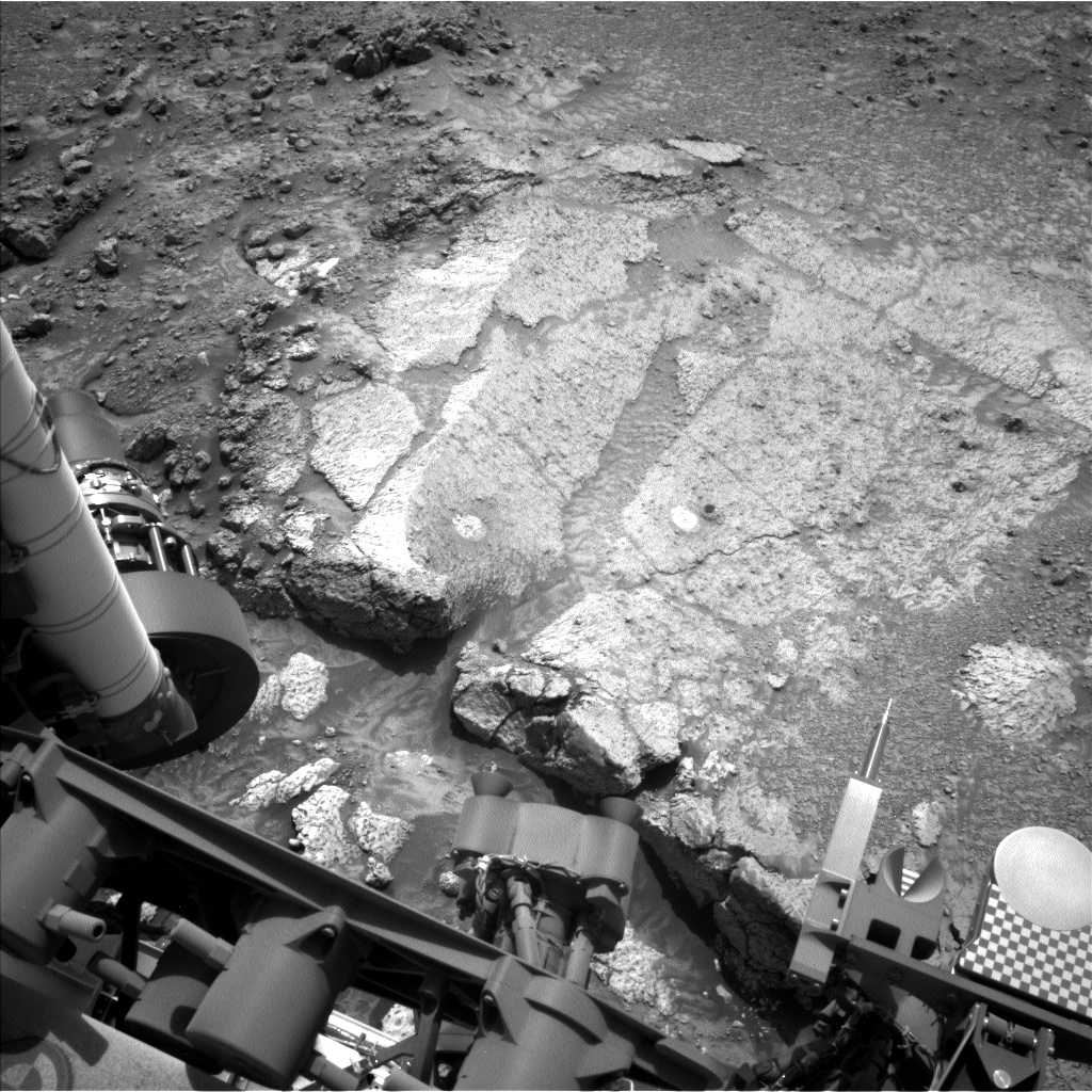
Over the weekend, the “Mammoth Lakes 2” drill sample was dropped off to CheMin for analysis. Mastcam change detection observations of “Walker Pass 2” and “Finch Lake” were begun and will complete on Sol 4225. Remote science on “Whitebark Pass,” “Quarry Peak,” “Broken Finger Peak,” and “Shout of Relief Pass” completed successfully. On Sol 4225, the focus for remote science was a ChemCam laser spectroscopic characterization and Mastcam imaging of “Horsetail Falls,” an area near the edge of the “Whitebark Pass” workspace slab. The Navcam image below shows the rough surface of “Horsetail Falls” as a stripe of dark rubbly material near the top just right of center edge of the light colored “Whitebark Pass” slab. “Horsetail Falls” is an example of bedrock texture diversity. This target is named for an iconic 270 ft waterfall emerging from Agnew Lake and easily seen from the June Lake Loop road. “Shout of Relief Pass” honors the 11000 ft pass on the Sierra High Route trail which is a gateway to much easier terrain for the next 25 miles of the trail. All targets in this area of Mount Sharp are named after the Bishop geological quadrangle in the High Sierra and Owens Valley of California. ChemCam RMI will also image an 11×1 mosaic of the nearby channel floor where there are interesting color variations. Atmospheric observations in this science block consist of a dust devil survey. In the next plan, SAM will complete its initial analysis. Based on the SAM and CheMin results, the team will then decide whether to do more chemistry at this intriguing location or continue our drive up Mount Sharp.
Written by Deborah Padgett, Curiosity Operations Product Generation Subsystem Lead Engineer at NASA’s Jet Propulsion Laboratory