
Wetland Wonders Unfold: Aerial Systems Shed Light On Ecosystem Services
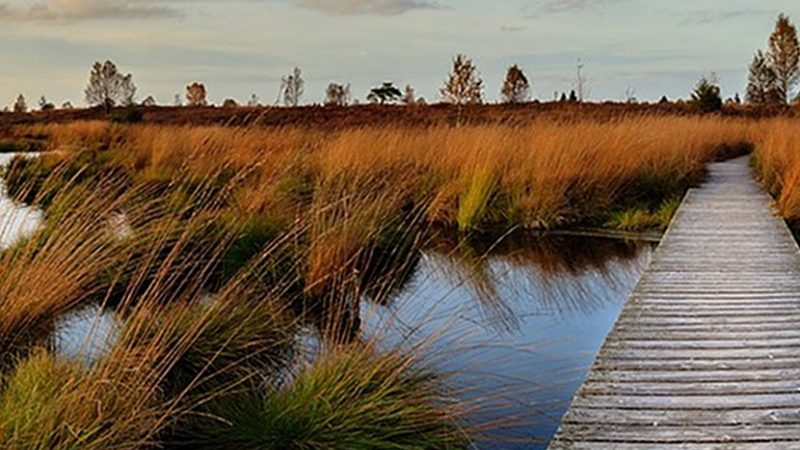
Coastal wetlands, situated at the junction of land and water, are vital ecosystems known for their high productivity. They play a key role in carbon sequestration, storm buffering, and providing habitats for diverse species. However, these critical areas are increasingly threatened by human activities and climate change. The dynamic nature and periodic flooding of wetlands pose significant challenges for traditional monitoring methods. Based on these issues, there is a pressing need for advanced remote sensing techniques to ensure effective conservation and management of these valuable ecosystems.
A team of researchers from Mississippi State University and the University of North Carolina Wilmington conducted a study published in the Journal of Remote Sensing. The study focuses on the precision mapping of coastal wetlands using UASs equipped with light detection and ranging (LiDAR) and multispectral sensors. By surveying eight diverse wetland sites in North Carolina, the research aimed to enhance the accuracy and efficiency of wetland classification and mapping.
Using UASs equipped with LiDAR and multispectral sensors, the researchers collected high-resolution elevation data and detailed vegetation imagery across eight diverse wetland sites in North Carolina. Sophisticated machine learning algorithms enabled highly precise classifications of wetland types. Estuarine intertidal emergent wetlands exhibited the highest classification accuracy due to distinct vegetation structures and spectral signatures. Palustrine forested and scrub-shrub wetlands, with their dense and complex vegetation, presented more challenges. The integration of LiDAR and multispectral data proved scalable, efficient, and cost-effective for wetland mapping. This approach significantly advances conservation efforts and informs policy-making for coastal resilience, highlighting the transformative potential of combining advanced remote sensing technologies in environmental monitoring.
Dr. Narcisa Gabriela Pricope, the lead researcher, stated, "Our integrated approach using UAS-derived LiDAR and multispectral data significantly improves the accuracy of wetland mapping. This method not only enhances our understanding of these critical ecosystems but also supports the development of effective conservation strategies."
The innovative use of UASs for wetland mapping has far-reaching implications for conservation and policy-making. The precise data collected can inform strategies to protect coastal wetlands, mitigate climate change impacts, and enhance biodiversity. This research highlights the transformative potential of merging advanced remote sensing technologies in environmental monitoring, paving the way for sustainable management of natural habitats.